
Infrastructure & Transportation Renderings Professional renderings for roads, bridges, interchanges and transit projects
We create photorealistic 3D renderings for infrastructure and transportation projects that translate complex engineering into clear, compelling visuals. From highway interchanges and bridges to rail stations and transit corridors, our visualizations help planning authorities, government agencies, and the public understand projects that shape the built environment for decades to come.
What You'll Get
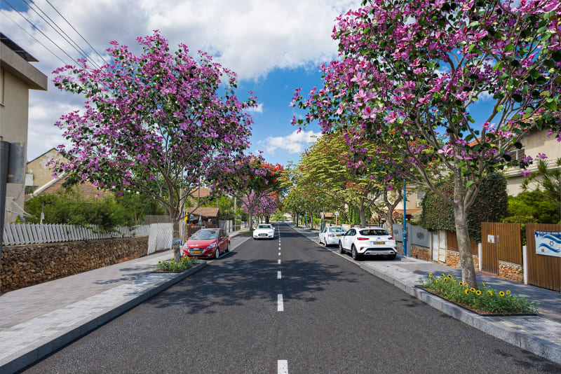
Road & Highway Renderings
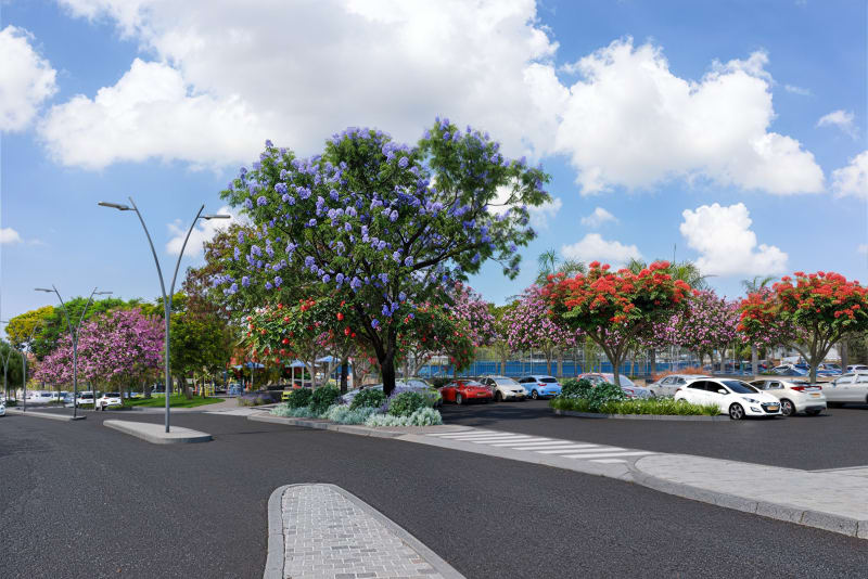
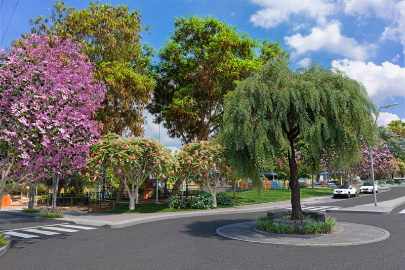
Visualizations of road widenings, new highway segments, and junction redesigns that show lane configurations, barriers, signage, and landscaping. We model the full roadway cross-section so decision-makers can evaluate safety, capacity, and visual impact.
Bridge & Overpass Visualizations
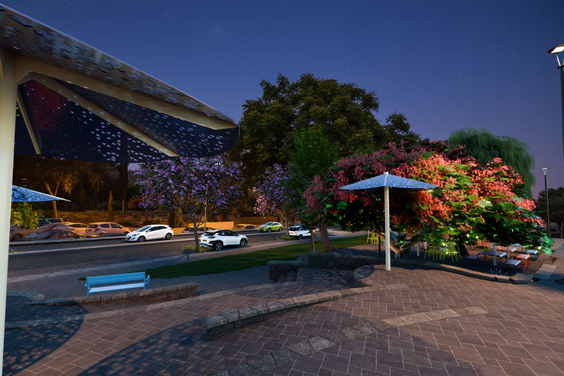
Renderings that showcase bridge design, structural form, railing details, and approach roads in their landscape setting. We capture the engineering elegance and environmental integration that makes infrastructure projects approachable to non-technical audiences.
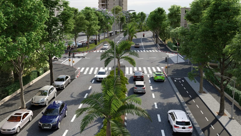
Interchange & Grade Separation
Complex interchange renderings that clarify multi-level road geometry, ramp connections, and surrounding land use. Aerial and eye-level views work together to communicate how the interchange functions and how it fits into the urban or rural landscape.
Rail & Transit Infrastructure
Visualizations of train stations, light rail corridors, bus rapid transit lanes, and transit-oriented development. We show platforms, shelters, track alignments, and passenger flows to support planning approvals and public engagement.
Aerial & Contextual Views
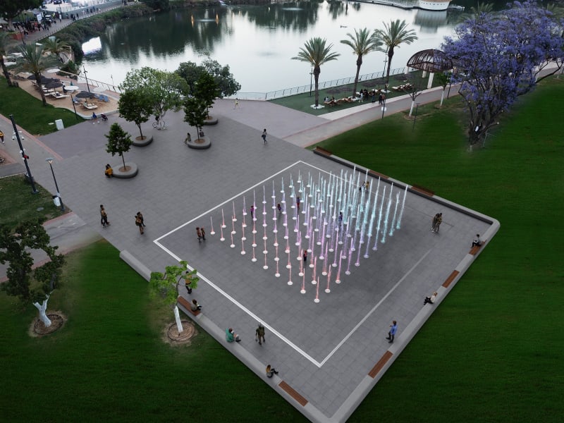
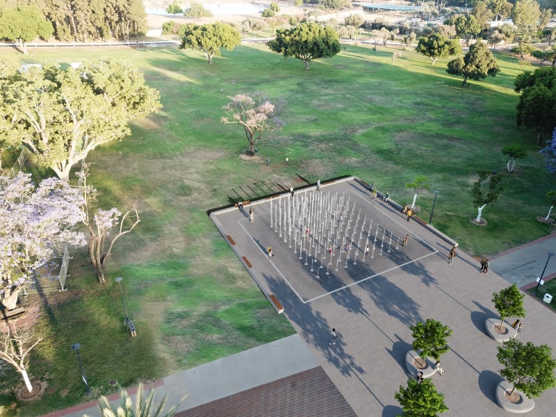
Bird's-eye renderings that reveal the full scope of infrastructure projects in their geographic context. Aerial views are essential for large-scale projects where the relationship between the new infrastructure and existing roads, neighborhoods, and natural features must be clearly communicated.
Multiple Viewpoints & Angles
We produce driver-perspective views, pedestrian-level views, and elevated overviews for each project. Different viewpoints serve different stakeholders - engineers evaluate geometry, planners assess context, and the public understands their daily experience.
From Our Work

Who Is This For?
Planning Committee Submissions
Professional renderings that help planning authorities evaluate the visual and environmental impact of infrastructure projects. A clear visualization of a new interchange or road widening, shown in context with surrounding buildings and landscape, accelerates the approval process and reduces requests for additional information.
Government Tenders
Compelling visual presentations that strengthen tender submissions for government infrastructure contracts. When evaluation committees compare proposals, a photorealistic rendering demonstrates design quality, engineering understanding, and attention to community integration in a way that drawings and specifications alone cannot.
Public Communication
Accessible visuals for public hearings, environmental impact presentations, and municipal websites. Infrastructure projects often generate concern among affected residents. Professional renderings show the finished result clearly, address visual impact concerns, and build public confidence in the project.
Our Process
Receiving Materials
Engineering plans, BIM models, cross-sections, and design specifications
Initial Sketch
Camera angles, context boundaries, and key elements for your approval
Full Rendering
High-quality photorealistic render with accurate geometry and surroundings
Revisions & Delivery
Up to 2 revision rounds included, then final high-resolution files
Questions?
Answers to the most frequently asked questions
Your infrastructure project deserves a rendering that communicates its full scope
Send us your engineering plans and we'll get back to you with a detailed quote within one business day